
Explore our world-class mountaineering library, apply for one of our grants, and dig in to your member resources.

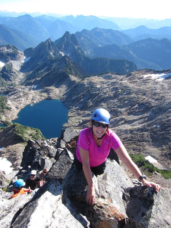

The Mount Defiance hike is a steep hike with great views of the surrounding mountains on a clear day. You can make it a loop hike by going up the Starvation Ridge Trail and back down the Mount Definance Trail or you can go out and back on the same trail. More information can be found at http://www.oregonhikers.org/field_guide/Defiance-Starvation_Loop_Hike
Activity Notes
Mount Defiance is a peak near the Columbia River Gorge. It rises to an elevation of 5,010 feet in the Mark O. Hatfield Wilderness on the Mount Hood National Forest. The route up the mountain is often considered one of the hardest climbs in the Gorge. Meet at Gateway Park & Ride at 6:30 a.m.| Other Information | |
|---|---|
| Driving Distance from Portland | 52 miles |
| Driving Time from Portland | 1 hours |
| Distance - Round Trip | 11 miles |
| Expected Duration | Car to car in one day |
| Interesting Features | Mountain Views, Old Growth Trees |
| Relevant Maps | CG7 |
| Awards Qualified | Awesome Ridges Award, Gorge High Points, Wild Ones |
| Useful Links | GPS Track Map |