
Explore our world-class mountaineering library, apply for one of our grants, and dig in to your member resources.

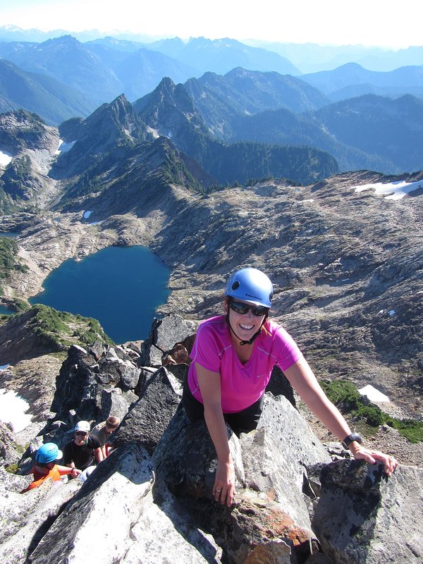

This is an C level Mazama Hike that occurs in a non-wilderness area. C level hikes are difficult or strenuous hikes with either over 15 miles in distance or over 3,000 feet elevation gain. C level hikes require you to apply; once you apply you will receive an email within a few days letting you know if you have been accepted onto the hike.
Please check out the details tab to learn more about this specific hike, including the route name and meeting location.
Activity Notes
A less used path to the top of Augspurger Mtn.that will take us to Cook Hill as well. On the steep side at times with the trail following old roads and sometimes brushy tread along ridge lines. Weather dependent views along the way. The return route avoids a second ascent of Cook Hill. Total distance is ~12 miles with 4,000' net elevation gain.
We will meet at the MMC for carpooling with a 7:30 AM departure, arriving at the Cook Hill TH for an 8:30 AM start.
| Other Information | |
|---|---|
| General Route Info | Will vary based on route chosen. Check the Activity & Leader Notes. |