
Explore our world-class mountaineering library, apply for one of our grants, and dig in to your member resources.

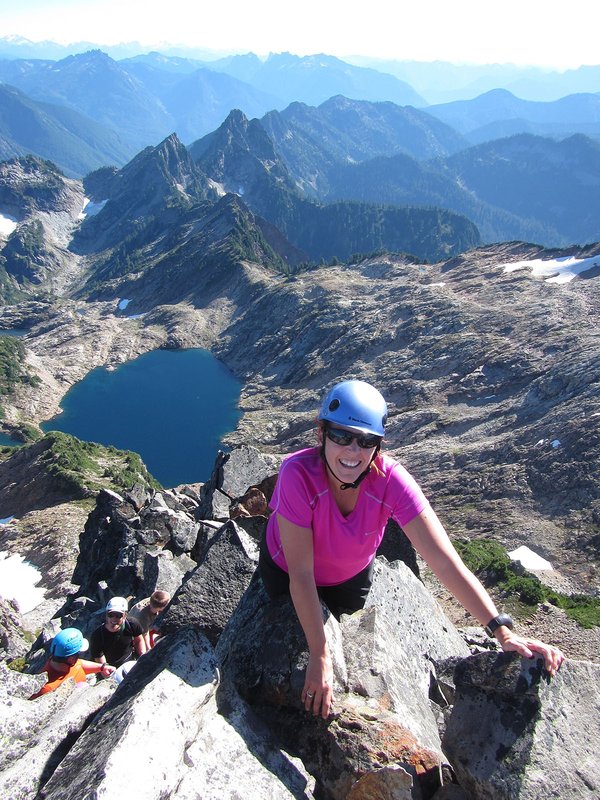

This is an C level Mazama Hike that occurs in a non-wilderness area. C level hikes are difficult or strenuous hikes with either over 15 miles in distance or over 3,000 feet elevation gain. C level hikes require you to apply; once you apply you will receive an email within a few days letting you know if you have been accepted onto the hike.
Please check out the details tab to learn more about this specific hike, including the route name and meeting location.
Activity Notes
We will begin this hike at the Ed's Trail trailhead. Compared to the Grouse Vista trailhead, this adds about 30 minutes to the drive but avoids having to hike the loose, rocky Grouse Vista trail. The road to the trailhead has been improved, but a high-clearance vehicle is still recommended. We'll carpool from the MMC departing at 7 am or you can meet us at the trailhead at 8:30.
This hike covers about 6.7 miles with 1900 feet of elevation gain.
Ed's Trail is narrow and somewhat exposed in places. After passing through a small natural arch, it has a couple short stretches of scrambling. From OregonHikers.org, "Soon after the arch, the trail climbs a steep muddy section that often requires scrambling on all fours. This section is only about 30 feet high. A second section will certainly require your hands as the trail ascends a 15 foot rocky wall."
Sturgeon Rock is a large basaltic monolith that gets its name from its fin-like appearance when seen from Silver Star. Getting to the top requires going up and down a short but steep and loose section of trail.
| Other Information | |
|---|---|
| General Route Info | Will vary based on route chosen. Check the Activity & Leader Notes. |