
Explore our world-class mountaineering library, apply for one of our grants, and dig in to your member resources.

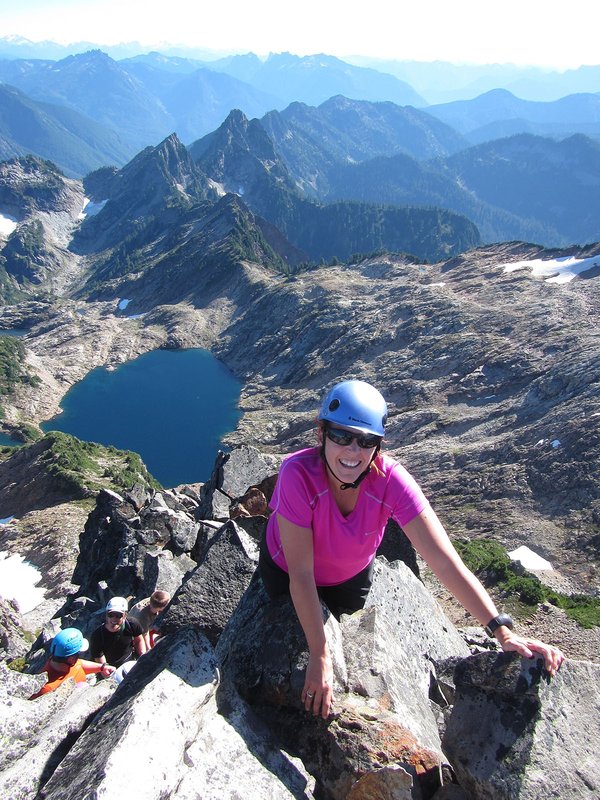

Mt. Aix is the dominant Cascades peak in the William O. Douglas Wilderness just east of Mt. Rainier National Park -- and ranks as the 39th most prominent peak in the Washington Cascades (7766' elevation). With a southwest exposure and located in Mt. Rainier's rain shadow, this peak is often accessible earlier in the season than many peaks of comparable height. Great views of the surrounding Cascade peaks and often mountain goats.
Activity Notes
This is a great summit, even though the elevation is low the view above timberline is tremendous. This a long day so good fitness is important. I have booked two forest service campsites at Cougar Flat which is approximately a 30-minute drive to the Mt Aix, trail 982 trailhead. One campsite is for 10-12 July and the other is for 10-11 July. As we get closer the start date, I will publish a spread sheet for carpooling, campsite fees, and group equipment. There is a fee for extra vehicles payable at the campsite upon arrival. Camping the night before the climb is highly encouraged.
Please note that driving time from the Portland/Vancouver area is between 4.5 and 5 hours depending on where you are starting from and how many stops you make enroute.
Spreadsheet Link (carpooling/equipment/campsites):
https://docs.google.com/spreadsheets/d/1YkYlGuNc4Evbc0jNSabA_6rylguCjg4dJU5jDDPmHWE/edit?gid=0#gid=0
| Other Information | |
|---|---|
| Driving Distance from Portland | 203 miles |
| Driving Time from Portland | 4 hours |
| Expected Duration | Car to car in one day |
| Relevant Books | Cascade Alpine Guide, Volume I, Columbia River to Stevens Pass by Fred Beckey |
| Relevant Maps | USGS 7 minute series, Bumping Lake & Timberwolf Mountain Google map |