
Explore our world-class mountaineering library, apply for one of our grants, and dig in to your member resources.


Follow the Eagle Peak trail upwards from Longmire (~2800') on a well-graded and well-maintained series of switchbacks for ~3.6mi to the saddle between Eagle Peak and Chutla Peak. Elevation gain to this saddle is ~2800'.
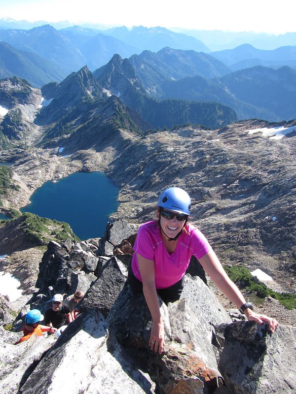
From the saddle, head south along an obvious user trail which seems to dead-end shortly atop a steep cliff. Back up a few feet and look to the right to locate a user trail concealed by the trees/bushes that drops down throug the trees to descend below the cliff face. Continue along the ridge following the user-trail up and down - bypassing the occasional high point along the ridge and making your way towards Chutla's summit. The route does not require any gear, but extensive use of the "veggie-belay" (e.g. roots & branches) is probably recommended. There is a bit of slightly exposed rock scrambling along the way (class 3-4).
For primo summit photos on a good day -- have folks stay on the summit and walk down the southern ridge a short distance for terrific background views of Mt. Rainier.
Activity Notes
Eagle Peak Trail is a 7.2 mile moderately trafficked out and back trail located near Longmire, Washington that features a great forest setting and is rated as difficult. The trail is primarily used for hiking and is best used from June until October. Timing: We will meet at the trailhead at 9:30 a.m., if you are in Portland you will need to leave by 6 a.m.| Other Information | |
|---|---|
| Driving Distance from Portland | 150 miles |
| Driving Time from Portland | 3 hours |
| Expected Duration | Car to car in one day |
| Relevant Books | Cascade Alpine Guide: Columbia River to Stevens Pass by Fred Beckey 75 Scrambles in Washington by Peggy Goldman |
| Relevant Maps | Google map |
| Useful Links | GPS Track GPS Coordinates Map |