
Explore our world-class mountaineering library, apply for one of our grants, and dig in to your member resources.


Activity Notes
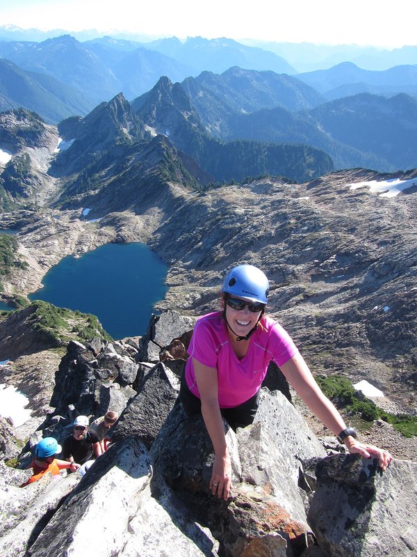
Table Rock is a 4,881-foot remnant of the Old Cascades jutting above the Camp Creek and Table Rock Fork of the Molalla River drainages and buttressed by sheer cliffs of lichen-splashed columnar basalt. It is the heart of the 6,028-acre Table Rock Wilderness, administered by the Bureau of Land Management. Much of the route described here was ravaged by fire in the 1880s, but a lush mature coniferous forest now cloaks the slopes. The forest, talus slopes, and dry meadows on top of Table Rock support a diverse flora and views extend from Mount Rainier to the Three Sisters.
Mileage:7.3 Elevation: 1700 Drive:130 Meeting Location: MMC
Registration is Closed
We’re sorry to report that registration is now closed for this activity and we are no longer accepting applications. The activity has either reached its maximum capacity or the registration period has ended.
Full Calendar
WE‘RE HERE TO HELP
Have questions about registration or your application status?
Email help@mazamas.org or call (503) 227-2345
| Group Information | |
|---|---|
| Groups | Hike Leaders |
WE‘RE HERE TO HELP
Have questions about registration or your application status?
Email help@mazamas.org or call (503) 227-2345