
Explore our world-class mountaineering library, apply for one of our grants, and dig in to your member resources.

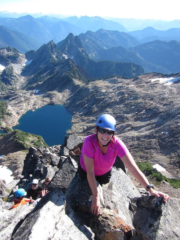

The South Side route is a high, gentle climb great for beginning climbers who want an overnight trip with fewer people and a more wilderness feel than Hood. There are no crevasses on this route. Be careful if you glissade - a twisted ankle here is a LOT more serious problem than on Hood. Skiers take note: this route can have over a 6,000 foot vertical descent in early season! Ambitious and fit climbers can try this car to car in one day.
Activity Notes
Recent BCEP graduates are especially welcomed! People from historically underrepresented groups like LGBTQ, BIPOC and women climbers are also encouraged to apply. My goal is to create a supportive and cohesive team. <br> <br> We will hike in Friday morning to Lunch Counter and set up camp; rise early Saturday, summiting Saturday May 23, returning to camp to break down, and then hiking out to cars Saturday afternoon. We will have an optional in town pre-climb meet-and-greet for the team the evening of Thursday, May 14 at a location to be determined to coordinate and answer questions.
| Other Information | |
|---|---|
| Driving Distance from Portland | 100 miles |
| Driving Time from Portland | 2 hours |
| Expected Duration | Car to car in two or more days |
| Interesting Features | Spectacular Views |
| Relevant Books | Climbers Guide to the Cascade Volcanoes by Jeff Smoot Selected Climbs in the North Cascades by Nelson and Potterfield Cascade Alpine Guide: Columbia River to Stevens Pass by Fred Beckey |
| Relevant Maps | USGS 7 minute series, Mt. Adams West and Mt. Adams East, or USDA Forest Service Mt. Adams Wilderness map Google map https://www.google.com/maps/@46.199593,-121.4982232,14.33z/data=!5m1!1e4 |
| Awards Qualified | 16 Major NW Peaks, Guardian Peaks |
| Useful Links | GPS Track GPS Coordinates Map |