
Explore our world-class mountaineering library, apply for one of our grants, and dig in to your member resources.

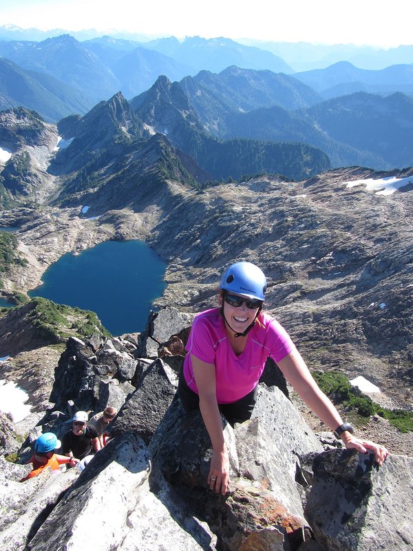

Glacier Peak is the most remote peak we climb in the Cascade Range. No road penetrates within eight miles of the mountain and many approach hikes are more than 10 miles long. The fall floods of 2003 destroyed many road and trail bridges in the Glacier Peak Wilderness, and many have not yet been rebuilt. At present, the Cool Glacier route, once considered long, has become the most accessible route.
Activity Notes
Please be sure that you have navigation, backcountry travel and crevasse rescue skills and will feel comfortable with a steady pace with a heavy pack. A good test of pace is hiking from Timberline to Silcox Hut with a 25-pound pack in 45 minutes.
Our itinerary will be roughly:
Day 1 meet at the trail head at 12:00p and hike to low camp at about 3,100 feet (approximately 5.5 miles and 1,100 feet elevation gain)
Day 2 hike to high camp at about 7,000 feet (approximately 8 miles and 3,900 feet elevation gain)
Day 3 summit attempt (approximately 3 miles and 3,500 feet elevation gain to the summit), return to camp, pack up and hike to a lower camp.
Day 4 hike out and return home.
| Other Information | |
|---|---|
| Driving Distance from Portland | 270 miles |
| Driving Time from Portland | 5 hours |
| General Route Info | Mt. Baker-Snoqualmie National Forest, Darrington Ranger District Office 360-436-1155 Summitpost https://www.summitpost.org/white-chuck-gerdine-cool-glaciers/166764 |
| Expected Duration | Car to car in two or more days |
| Interesting Features | Glacier(s) |
| Relevant Books | Selected Climbs in the Cascades, Vol.II by Nelson and Potterfield Cascade Alpine Guide: Stevens Pass to Rainy Pass by Fred Beckey Summit Guide to the Cascade Volcanoes by Jeff Smoot |
| Relevant Maps | Glacier Peak, USGS 7 minute series Green Trails, #112 (Glacier Peak) Google map https://goo.gl/maps/5Qj7vVNuanK2 Some nice GPS tracks and topo maps by Karl Helser: karl-helser.com |
| Awards Qualified | 16 Major NW Peaks |
| Useful Links | GPS Track GPS Coordinates Map |