
Explore our world-class mountaineering library, apply for one of our grants, and dig in to your member resources.

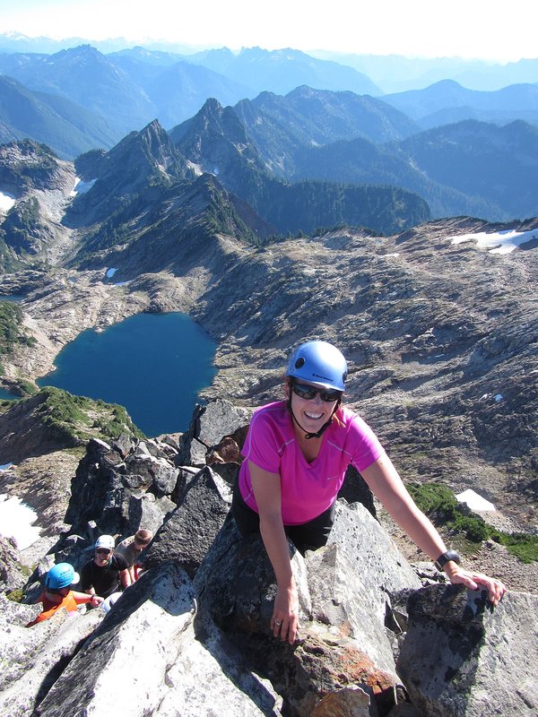

This is an C level Mazama Hike that occurs in a non-wilderness area. C level hikes are difficult or strenuous hikes with either over 15 miles in distance or over 3,000 feet elevation gain. C level hikes require you to apply; once you apply you will receive an email within a few days letting you know if you have been accepted onto the hike.
Please check out the details tab to learn more about this specific hike, including the route name and meeting location.
Activity Notes
We'll carpool from the MMC parking lot departing at 7:30 am or you can meet us at the Grouse Vista trailhead at 8:30. A WA Discover Pass is required for parking at the trailhead.
This hike will cover just under 10 miles with about 3200 feet of elevation gain. Much of the Grouse Vista trail is covered in loose rocks which frankly can be annoying, but the views from the summit of Silver Star are worth the journey.
On the return we will first take the side trail to Sturgeon Rock, a large basaltic monolith that gets its name from its fin-like appearance when seen from Silver Star. This trail is also comprised mostly of loose rocks. Getting to the top of Sturgeon Rock requires going up and down a short but steep and loose section of trail.
We'll then head to the "Indian Pits," three- to five-foot deep depressions in a scree field. The pits are believed to have been created by Native peoples. The generally accepted theory is that they were religious sites, where young men would go in search of a vision quest. Other possible purposes include food storage and hiding holes for hunters. The panoramic view here rivals the view from the summit of Silver Star Mountain.
If we've made good time and are feeling energetic, we may also scramble to the top of Pyramid Rock.
| Other Information | |
|---|---|
| General Route Info | Will vary based on route chosen. Check the Activity & Leader Notes. |