
Explore our world-class mountaineering library, apply for one of our grants, and dig in to your member resources.

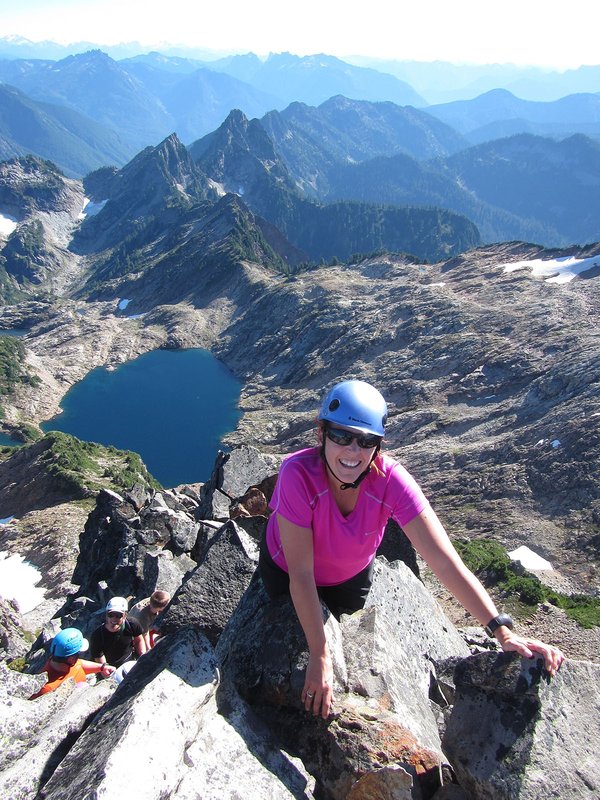

This is an B level Mazama Hike that occurs in a wilderness area. B level hikes are moderate or more challenging hikes with either less than 15 miles in distance with between 1,500 and 3,000 feet elevation gain or between 8 and 15 miles in distance with less than 1,500 feet of elevation gain.
Please check out the details tab to learn more about this specific hike, including the route name and meeting location.
Activity Notes
Overflow option for Lookout Mountain to Flag Point. Carpool from Rock Haven at 7:30A.M. or meet at High Prairie Trailhead at 9:30A.M. Suggested gas contribution is $13/passenger.
William OBrien's group will leave the High Prairie TH at 9:30AM. First objective is Lookout Mtn, site of a former fire lookout, next objective is Oval Lake, then Palisade P,t then Flag Pt Fire Lookout where we will have lunch and is our turnarounf pt.
| Other Information | |
|---|---|
| General Route Info | Will vary based on route chosen. Check the Activity & Leader Notes. |