
Explore our world-class mountaineering library, apply for one of our grants, and dig in to your member resources.

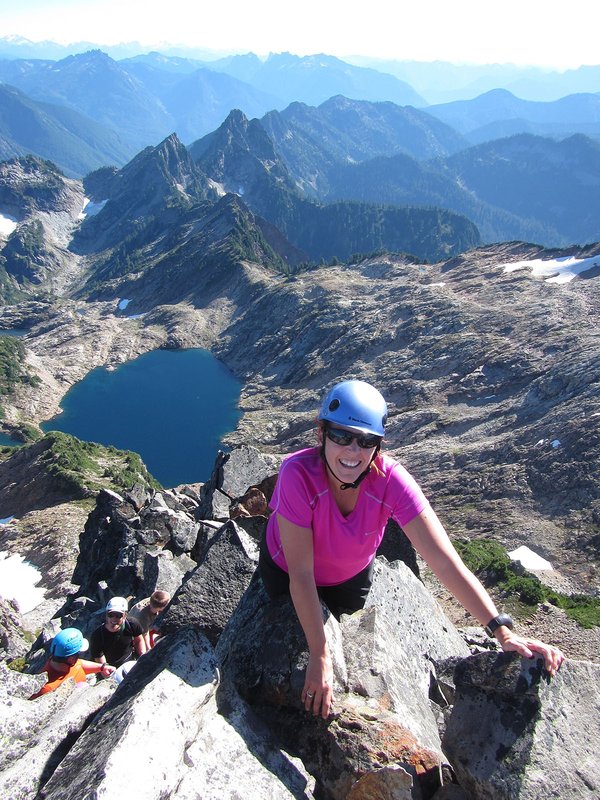

This is an C level Mazama Hike that occurs in a non-wilderness area. C level hikes are difficult or strenuous hikes with either over 15 miles in distance or over 3,000 feet elevation gain. C level hikes require you to apply; once you apply you will receive an email within a few days letting you know if you have been accepted onto the hike.
Please check out the details tab to learn more about this specific hike, including the route name and meeting location.
Activity Notes
A new year and a new chance to explore the lower reaches of Table Mountain.
This access has been closed for years, and now there will be opportunities to visit Aldridge Butte, Cedar Falls and Cedar Mountain, and the traditional approaches to Table Mountain from the Pacific Crest Trail.
If we're lucky, we'll see the first grass widows of the year on Cedar Mountain.
We'll meet at MMC for a 7:30 a.m. departure. Drive to the trail head at Bonneville Hot Springs Resort and Spa... near North Bonneville.
Pay to park there, $10 per vehicle.
Route: Mileages are approximate. About 8 miles, total elevation 2,000 feet.
0 - 1.0 miles: Take the Carpenter Meadow Trail (formerly Dick Thomas Trail) to Carpenter Meadow (formerly Carpenter's Lake)
1.0 - 2.0 miles: Turn right on railroad grade, then left on Aldridge Butte trail. Take a break at the summit (1,000 ft).
2.0 - 3.0 miles: Backtrack down trail to saddle, and turn left on Cedar Creek trail. Cross the creek and left down to Cedar Falls.
3.0 - 5.0 miles: Cedar ridge to Cedar Mountain to the PCT where it intersects with the "Westway" Trail. I have a GPX track for this. Take a break here.
5.0 - 7.0 miles: Follow the PCT down, past Heartbreak, turning right on the a ridge, follow it down to the Table Mountain Trail. To Carpenter Meadow.
7.0 - 8.0 miles. Carpenter Meadow trail back to cars.
https://www.oregonhikers.org/field_guide/Cedar_Mountain_Loop_Hike
https://www.gaiagps.com/map/?loc=13.3/-121.9750/45.6676
I'm rating this hike "exploratory."
| Other Information | |
|---|---|
| General Route Info | Will vary based on route chosen. Check the Activity & Leader Notes. |