
Explore our world-class mountaineering library, apply for one of our grants, and dig in to your member resources.

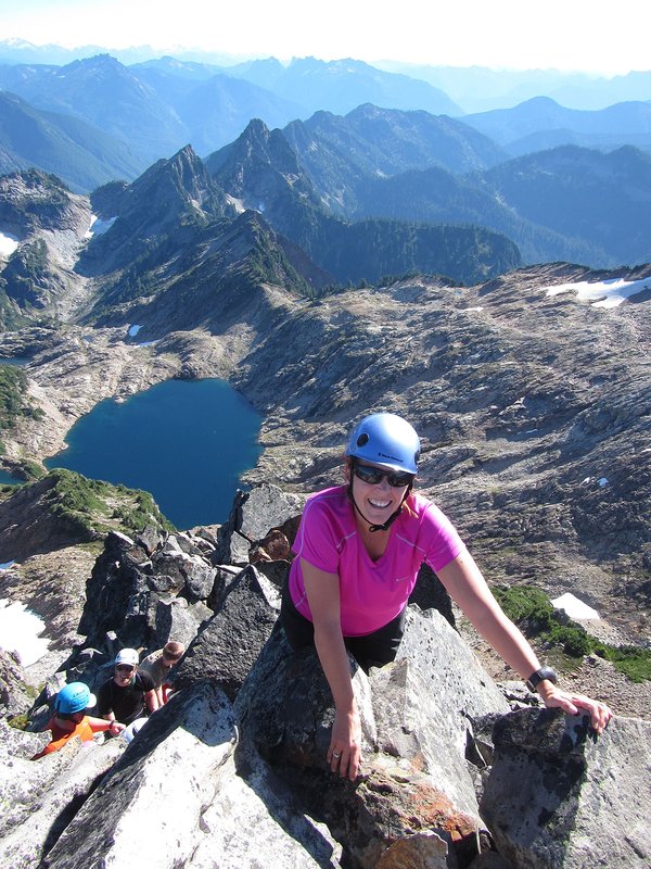

This is an B level Mazama Hike that occurs in a non-wilderness area. B level hikes are moderate or more challenging hikes with either less than 15 miles in distance with between 1,500 and 3,000 feet elevation gain or between 8 and 15 miles in distance with less than 1,500 feet of elevation gain.
Please check out the details tab to learn more about this specific hike, including the route name and meeting location.
Activity Notes
Greenleaf Peak lies Just East of Table Mountain in the gorge.
The trail begins from Road GC 2020 and is generally considered a challenging, steep hike that isn't frequently maintained. It's an approximately 4.5-mile round trip with a substantial elevation gain of around 2,000 feet, leading to a summit elevation of about 3,425 feet.
Key features of the hike include:
Initial section on switchbacks under power lines to the saddle<br> A shorter steep forested section to the summit<br> Views of Mount Hood and Mount Adams from the top (on clear days)<br> Old-growth forest sections along the route
| Other Information | |
|---|---|
| General Route Info | Will vary based on route chosen. Check the Activity & Leader Notes. |