
Explore our world-class mountaineering library, apply for one of our grants, and dig in to your member resources.

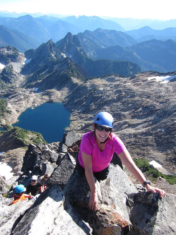

The South Side route is a high, gentle climb great for beginning climbers who want an overnight trip with fewer people and a more wilderness feel than Hood. There are no crevasses on this route. Be careful if you glissade - a twisted ankle here is a LOT more serious problem than on Hood. Skiers take note: this route can have over a 6,000 foot vertical descent in early season! Ambitious and fit climbers can try this car to car in one day.
Activity Notes
South side climb of Mt. Adams. We will be starting from Morrison creek to avoid crowds / terrible road to Cold Springs. We will stick within safe distances of each other for the duration of the climb if we are a mixed group (skiers/boarders/booters). We will climb together as a group at a moderate but efficient pace. Tentative Itinerary 6:30 am Saturday Leave Carpool from Troutdale/Portland 8:30 am Saturday Arrive Morrison Creek Trailhead 9:00 am Saturday Start approach hike 3:30 Saturday Camp at around ~8500 ft (3 miles ~3500 ft Total Day 1) 5 am Sunday Wake Up 6 am Sunday Head Out ~Noonish Sunday Summit ~12250 ft (3.2 miles ~4300 ft Up) 3:00pm Sunday Back at camp ~6:00pm Sunday Back at trailhead (6.0 miles ~7800 ft Down) I will look to start making firmer plans 5 days out and at about 10 days out I will begin accepting climbers. Go/No Go will be a few days out via email. We will be starting from morrison creek trailhead - https://maps.app.goo.gl/dydCcdDrfY2zPQ8Y7 Required Gear Crampons Helmet Ice Axe Flotation (Ski/Board/Snowshoes) Good Attitude Sleeping bag / Tent / Pad Food / Water / 10 Essentials / First Aid Kit Permits Each climber is responsible for purchase of their own permit from recreation.gov. https://www.recreation.gov/activitypass/4280e9ae-d010-11ea-8e82-82c0c22bed90 . Please wait to purchase your permit until you are accepted and we have passed the Go/No Go! If you are newer to climbing or have questions, I encourage you to reach out to me beforehand to make sure this climb is a good fit for you! Email any questions -> pheNam2000@gmail.com| Other Information | |
|---|---|
| Driving Distance from Portland | 100 miles |
| Driving Time from Portland | 2 hours |
| Expected Duration | Car to car in two or more days |
| Interesting Features | Spectacular Views |
| Relevant Books | Climbers Guide to the Cascade Volcanoes by Jeff Smoot Selected Climbs in the North Cascades by Nelson and Potterfield Cascade Alpine Guide: Columbia River to Stevens Pass by Fred Beckey |
| Relevant Maps | USGS 7 minute series, Mt. Adams West and Mt. Adams East, or USDA Forest Service Mt. Adams Wilderness map Google map https://www.google.com/maps/@46.199593,-121.4982232,14.33z/data=!5m1!1e4 |
| Awards Qualified | 16 Major NW Peaks, Guardian Peaks |
| Useful Links | GPS Track GPS Coordinates Map |