


Explore our world-class mountaineering library, apply for one of our grants, and dig in to your member resources.


Ramble history and route creation
Ramble history and route creation
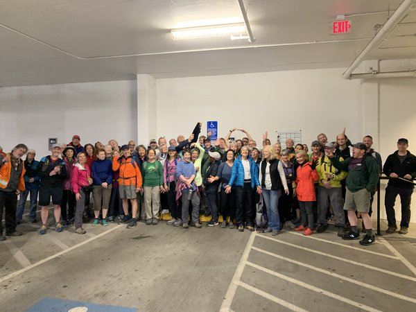
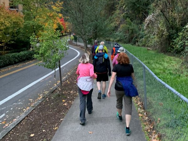
The Mazama Street Rambles were started by Bob Miller in May, 1987. Initially the rambles were on Tuesdays, but Thursday rambles were added in 1989. At first, hikers met at the World Forestry Center near the zoo, then later at the Mazama “Clubhouse” at NW Kearney and 19th. Currently the Rambles leave from the REI at NW Johnson and 14th at 6:00 PM and return at 8:00 PM. The rambles offer a variety of hikes at different levels of difficulty throughout the entire year. Headlamps or flashlights are required during the the dark, winter rambles.
We have enjoyed the Mazama Street Rambles for many years. Tom began rambling in 2000. He hiked with many experienced ramble leaders (some considered to be “the old timers”) and enjoyed learning various routes. His first lead was in December, 2004. He soon found he also loved trying to figure out new routes and began to build up quite a variety of hikes.
Gretchen started rambling regularly in 2008. Tom helped her figure out routes at an easier level and in October, 2013 Gretchen began leading.
Now, in our mid-seventies we are “the old-timers"! And, many younger leaders are asking us to share our routes with them. After quite a bit of thought about to how to share the ramble routes we knew, we decided to map and write directions for them. It took about 8 months to map, write directions, ground test, rewrite and proofread a total of 50 Street Ramble Routes which, thanks to Mathew Brock, the Mazama Librarian, are available to anyone online and in the Mazama library.
Special thanks
We have many people to thank for their help in this undertaking and we’d like to acknowledge their efforts:
- Marty Hanson spent many hours assisting in the mapping process. He added street names, titles and landmarks to all the maps. His help was invaluable in making the maps understandable and useful.
- Mathew Brock, Mazama Library and Historical Collections Manager, did all the work necessary to make the maps and routes available on line and at the MMC library.
A number of fellow ramblers, leaders, and friends helped with ground testing the routes. Thank you to:
Steve Benson, Susan Brickey, Lori Brown, Hal Goodell, Paul Hanes, Sam Kroeger, Tom Monroe, Rick Pope, Lisa Ripps, Bob Smith, Marjan Wyzeka and Marilyn Zigler