
From Oregon Hikers: Cook Hill, just to the east of Dog Mountain, serves as the latter’s poor cousin, but if you want solitude and an abundance of wildflower species in the spring, this is the place to go to avoid Dog’s crowds although it cannot quite replicate the spectacular meadow displays. The hike is all on unofficial trails and old road beds on public land save for a section of the ridge at the Cook Hill Saddle, which belongs to Broughton Lumber. There are two meadows to cross, a steep smaller meadow and the lengthy summit meadow, which has seen some grazing in the past. While all of the slopes were logged sometime in the 20th century, the forest wildflowers match those of the meadows in abundance and diversity. Note that the trail section which leads to the summit, constructed by Gorge activist Russ Jolley, can disappear in places as new growth engulfs it in the spring. The first time you're here, hike the loop counterclockwise as described to avoid the chance of losing Russ Jolley’s trail. When you return, you can go clockwise to get full frontal views of the Gorge as you descend from the summit of Cook Hill. There is no signage, but the routes are cleared by volunteers, usually every year.
http://www.oregonhikers.org/field_guide/Cook_Hill_Loop_Hike
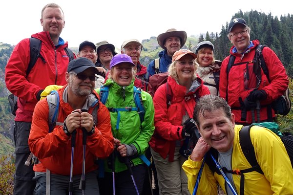
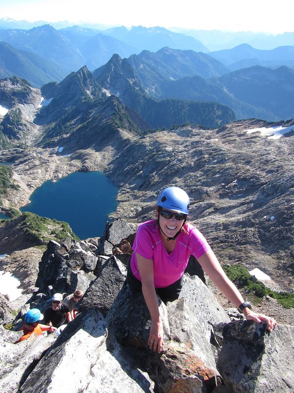
Activity Notes
March 30th Update: Hike changed to Cook Hill. We are moving the hike to the East to give us more field time and less weather with the weather front moving in from the coast.
Oregon Hikers description Cook Hill Loop
Fees and Regulations: $3 toll each way at the Bridge of the Gods
Driving Directions
- Drive I-84 east to Exit 44 for Cascade Locks and Stevenson.
- After exiting, go 0.4 miles, and turn right for the Bridge of the Gods Toll Bridge and Stevenson.
- Drive 0.7 miles to pay the $3 toll, cross the Columbia River, and reach the junction with Highway 14.
- Turn right here for Stevenson and Kennewick, and drive 14.9 miles, passing through Stevenson, before making a left turn onto Cook-Underwood Road for Mill A and Willard.
- Go 0.3 miles and, just after passing Jackson Road on your left, stop in the large parking pullout on your right. 45°42'43.2"N 121°39'12.6"W
- Hike along Jackson Road to reach the unsigned trailhead at an old logging road.
- Note: Do not attempt to park along the very narrow Jackson Road. You will only arouse the ire of local residents.
| Other Information | |
|---|---|
| Driving Distance from Portland | 104 miles |
| Driving Time from Portland | 1 hours |
| Distance - Round Trip | 8 miles |
| Expected Duration | Car to car in one day |
| Awards Qualified | Awesome Ridges Award, Gorge High Points |
| Useful Links | GPS Track |